Mount Shasta Avalanche Gulch
June 21, 2020
Table of Contents
Mount Shasta is the second tallest peak in the Cascade Range, but the most voluminous volcano in the range. It stands at 14,179 feet tall. Mount Shasta is located in northern California and is quite prominent as there aren't very many other tall mountains in the area.
The Drive
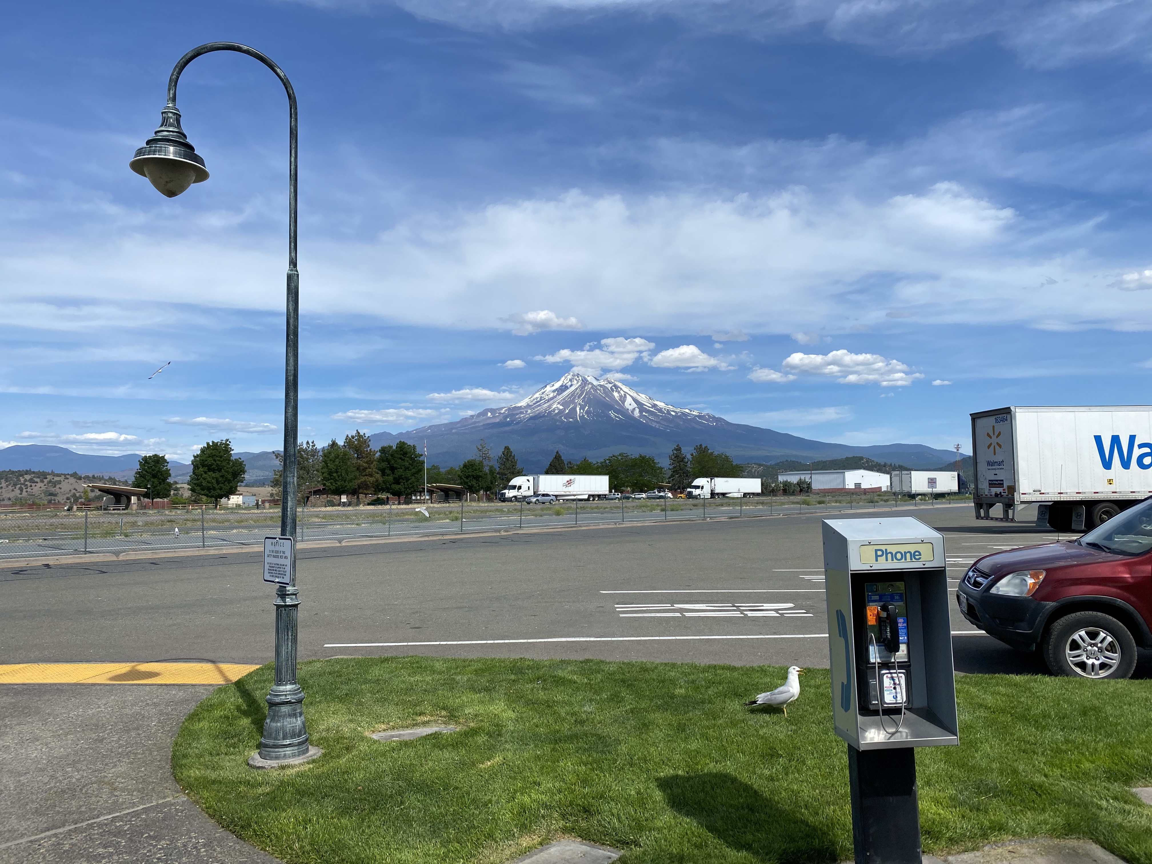
The literal drive from Seattle down to Mount Shasta was quite a long one. It takes roughly 8.5 to 9hrs to reach the trail head from Seattle, by car. Depending on traffic it could take longer. I planned this trip with Josh and, props to him for agreeing to drive all the way down and back up with such a quick turn around. We left Seattle at around 7:00-7:30 in the morning if I remember correctly. This allowed us to reach the trail head around 5:00opm the same day.
We planned to camp one night near the trailhead and ended up finding a nice spot off of Sand Flat Road. This was located just down the road from the Bunny Flat Trailhead, where we would start our ascent up Mount Shasta. By the time we arrived, we were both pretty drained from the drive.
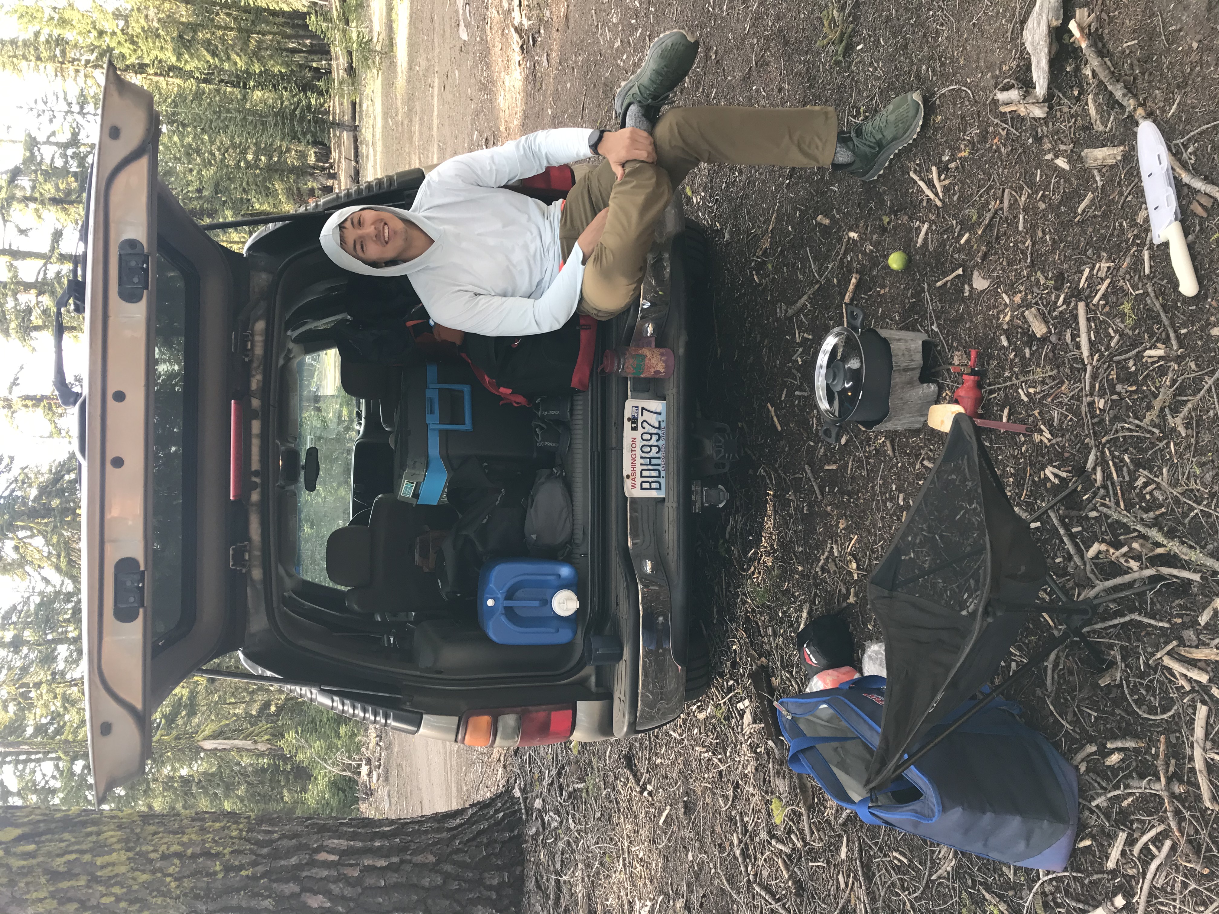
At this point, there wasn't much to do other than relax and get some rest!
The Ascent: Bunny Flat Trailhead
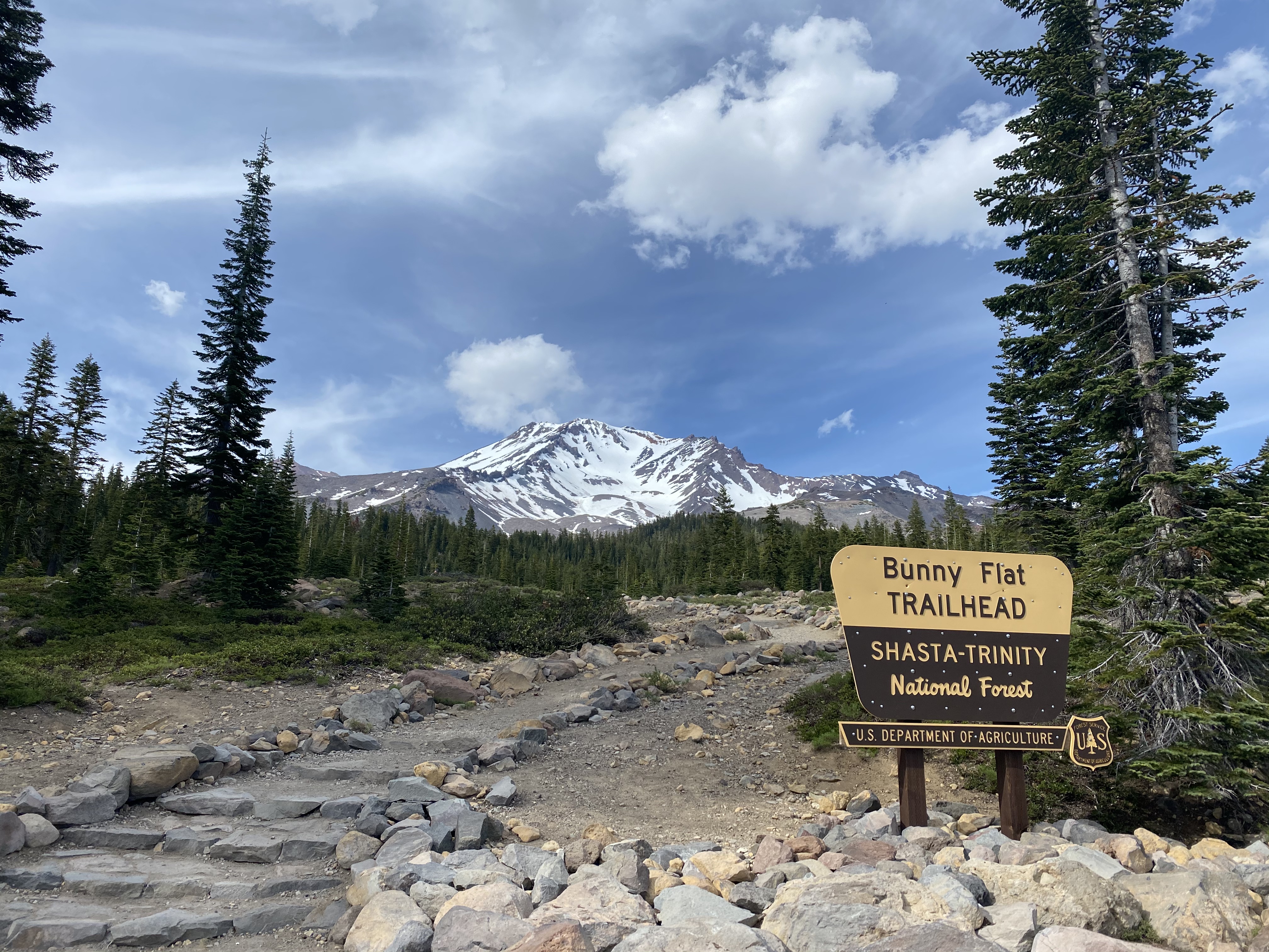
Josh and I took the standard Avalanche Gulch route. This route starts from Bunny Flat Trailhead. This route is quite nice, it meanders through an evergreen forest to Horse Camp which sits at around 7,800ft. Then, you continue up a wide gully to Lake Helen Camp which is about 3.5 miles from the trailhead and sits at about 10,400ft. The trailhead itself starts at an elevation of about 6,950ft.
We got to the trailhead around 8:45am and set out for Lake Helen.
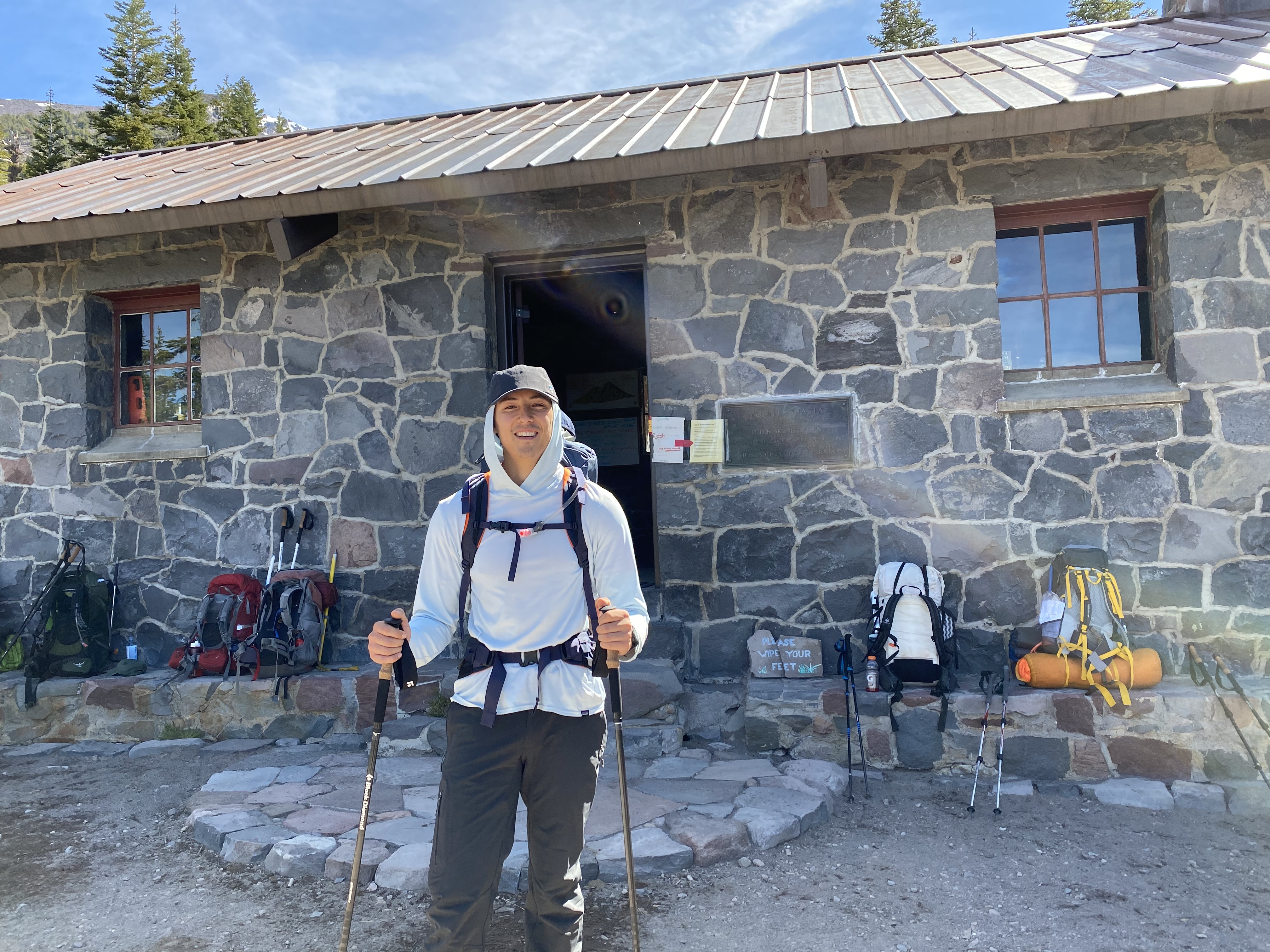
It was a very nice day and the hike to Horse Camp was extremely pleasant. It was a pretty gradual climb all the way up to Horse Camp. Once we arrived at Horse Camp, the trail was pretty busy and the temperature was getting hotter. It took us just over an hour to get to Horse Camp from the trailhead.
Once we left Horse Camp the trail started to ascent pretty quickly. We were already above 8000ft soon after leaving Horse Camp. We were now out of the treeline and the sun was beating down on us. I was starting to feeling the effects of the elevation and the heat. We took a few breaks along the way to Lake Helen Camp.
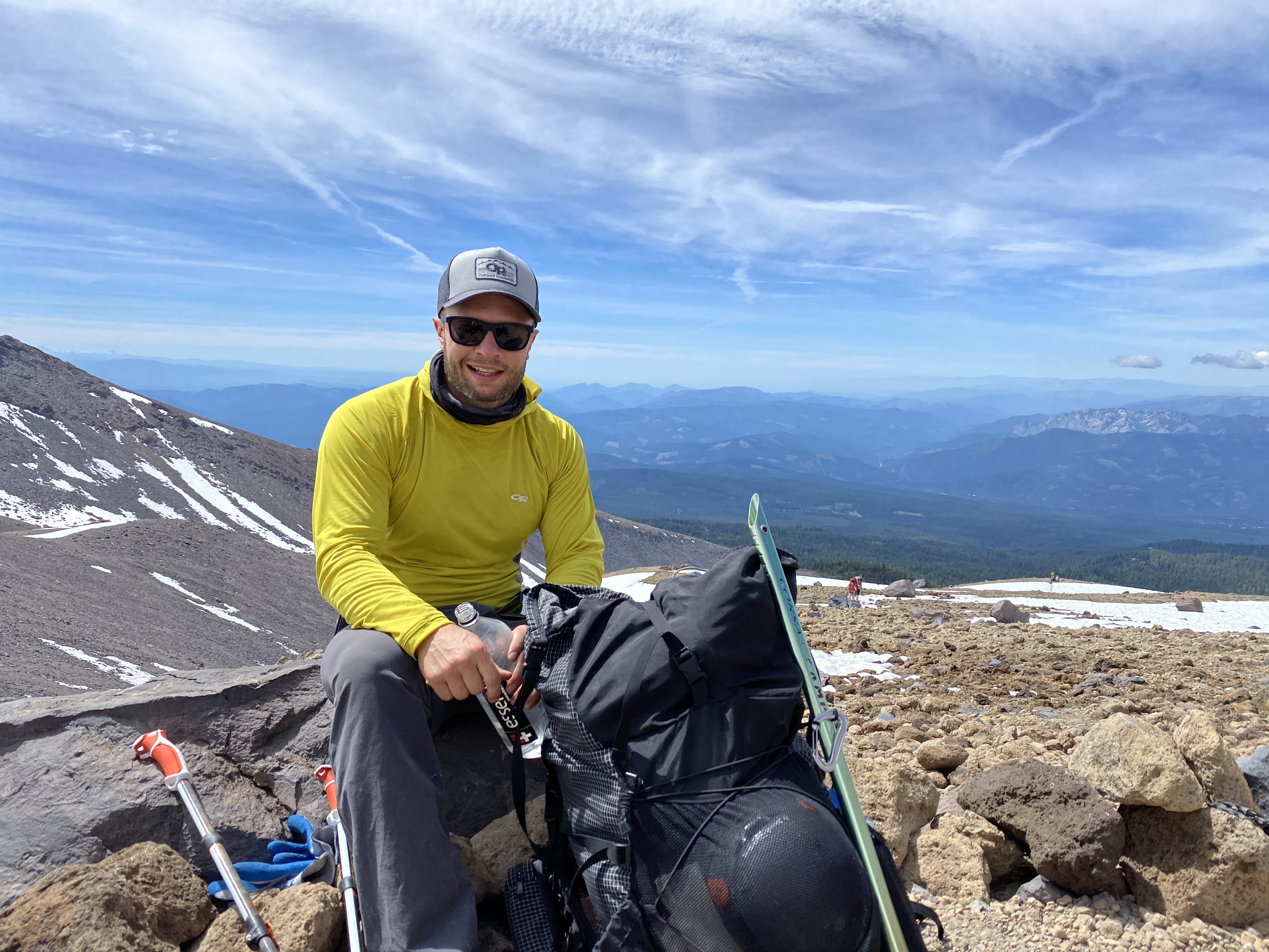
Don't feel fooled by my smile in the photo above. I was definitely feeling worse than I look. Soon after that photo was taken, on the final stretch before reaching Lake Helen camp, I started to feel extremely exhausted. I also started to feel a bit of a headache coming on. Luckily it wasn't much further and when we arrived I set up my tent and took a nap.
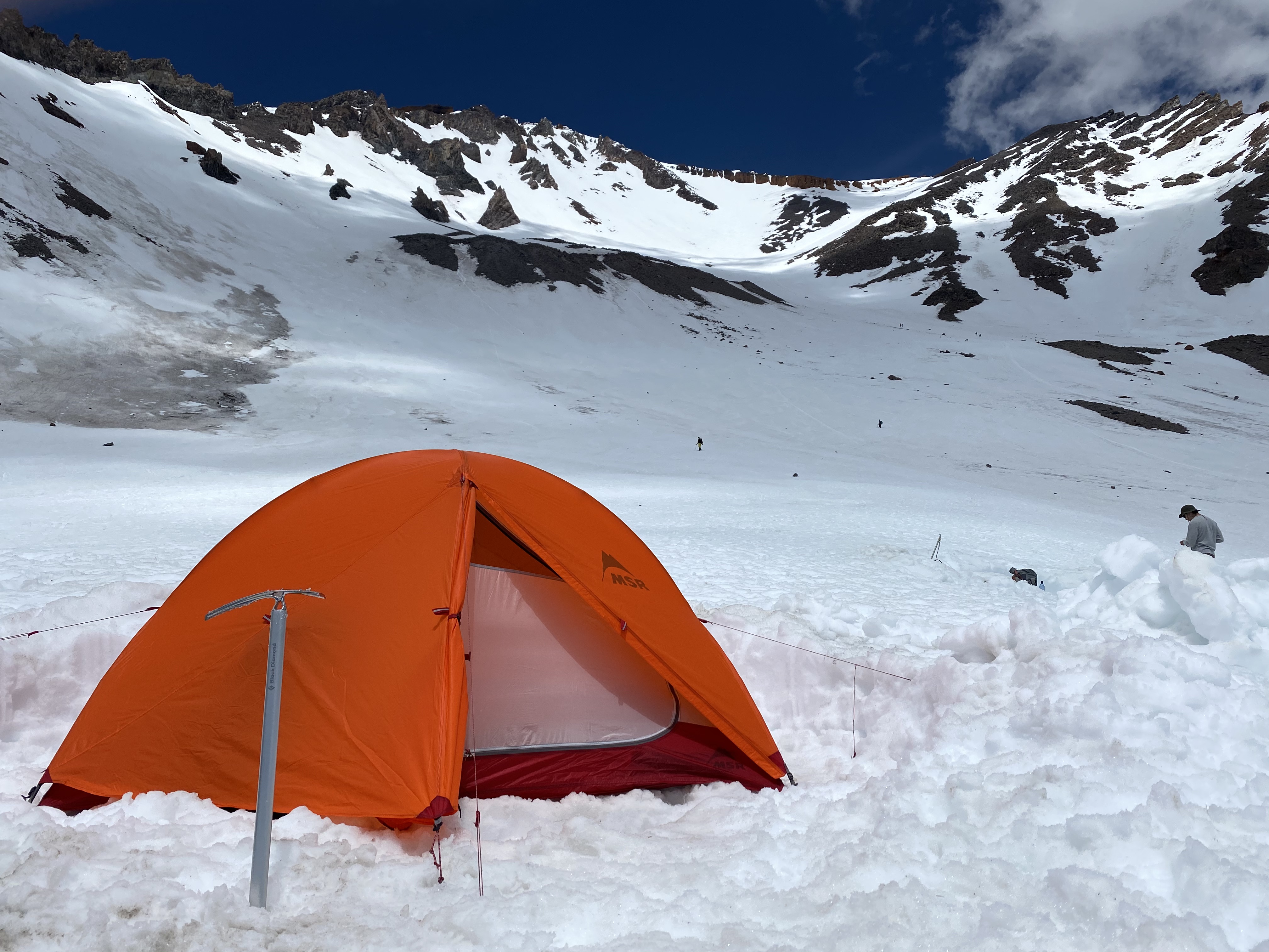
After a couple hours I woke up to a pretty lively camp. There were more than a few people having a good time, enjoying some drinks and having conversations. Josh and I started melting some snow for water for cooking and for the ascent tomorrow. We had a pretty early night and agreed on a 2:00am alpine start.
The Ascent: Summit Day
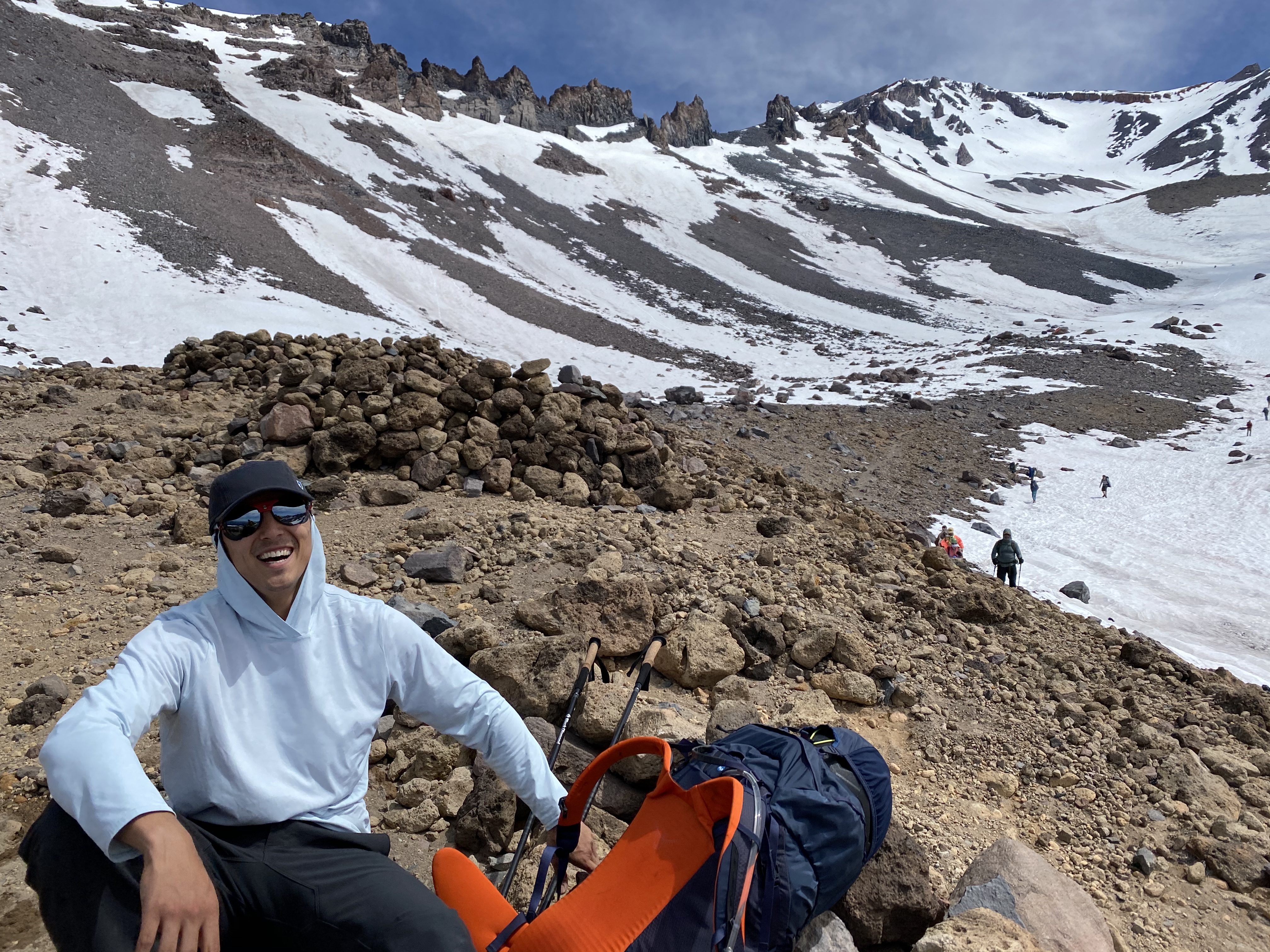
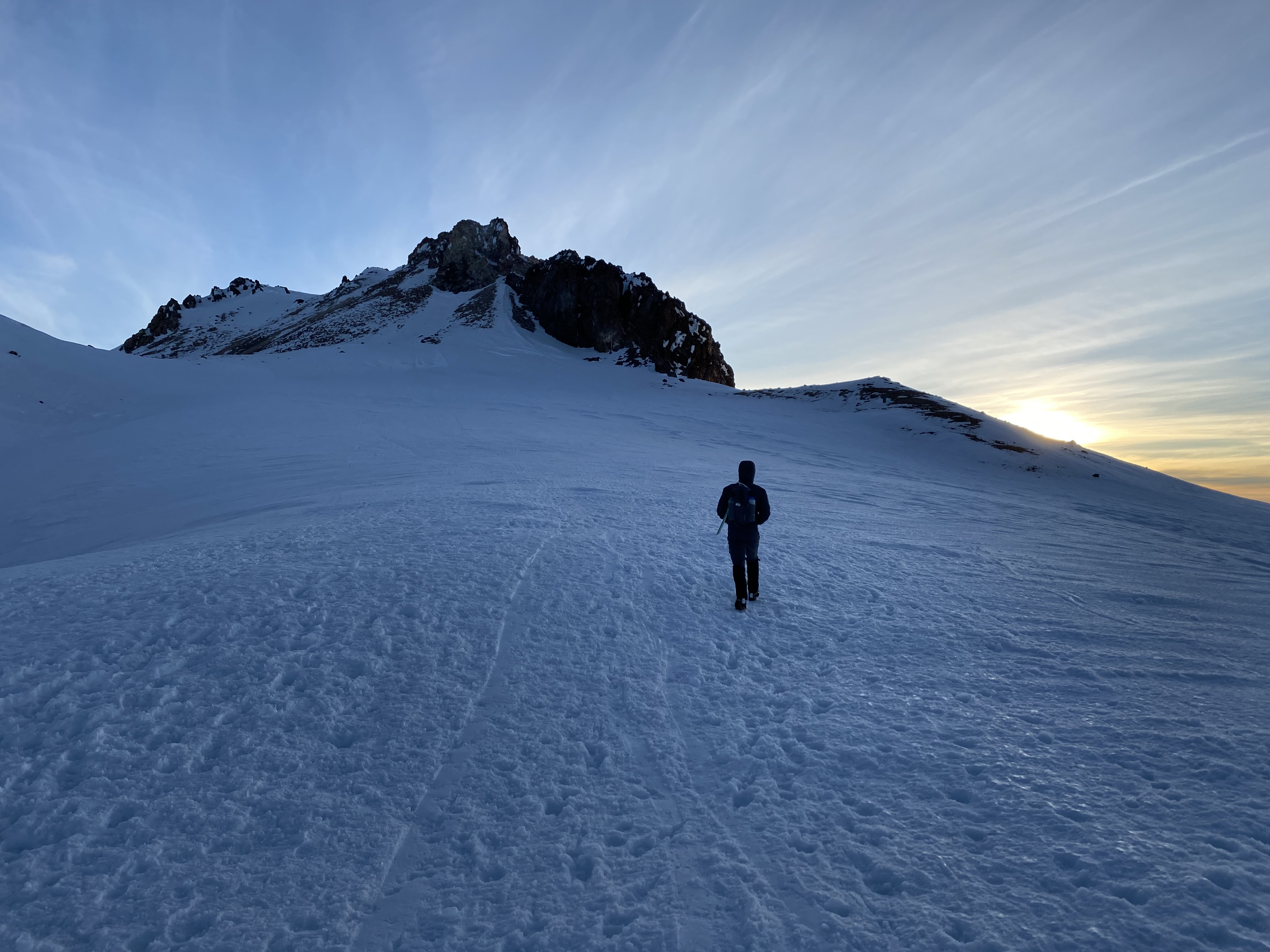
I woke up at around 1:30am and cooking some quick and easy oatmeal for breakfast in the comforts of my tent. After scarfing my oatmeal down I got packed up and ready to go. Josh and I had crampons on just before 2:00am. Luckily, we just beat the rush and were more than halfway up the initial push to a small peak called Thumb Rock which sits just at the base of Misery Hill.
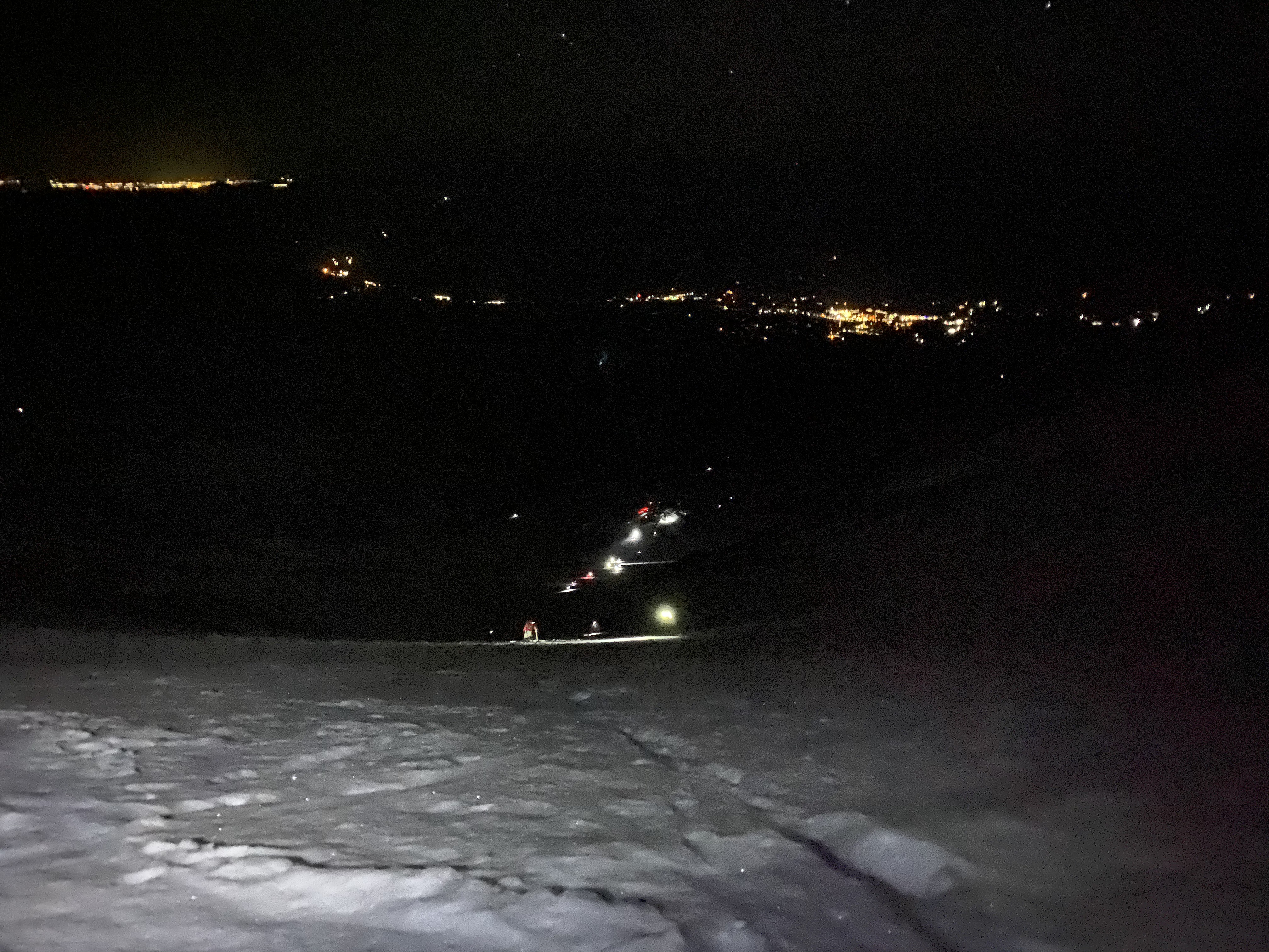
We arrived at Thumb rock at about 4:30am, 2.5hrs after leaving camp. The climb up was a bit more strenuous that I imagined. We took a few pictures and kept on pushing. Next up was Misery Hill. Once we got on Misery Hill the sun was starting to rise and the views were incredible. I was feeling pretty good but also the elevation was also getting to me. The views kept my motivation high.
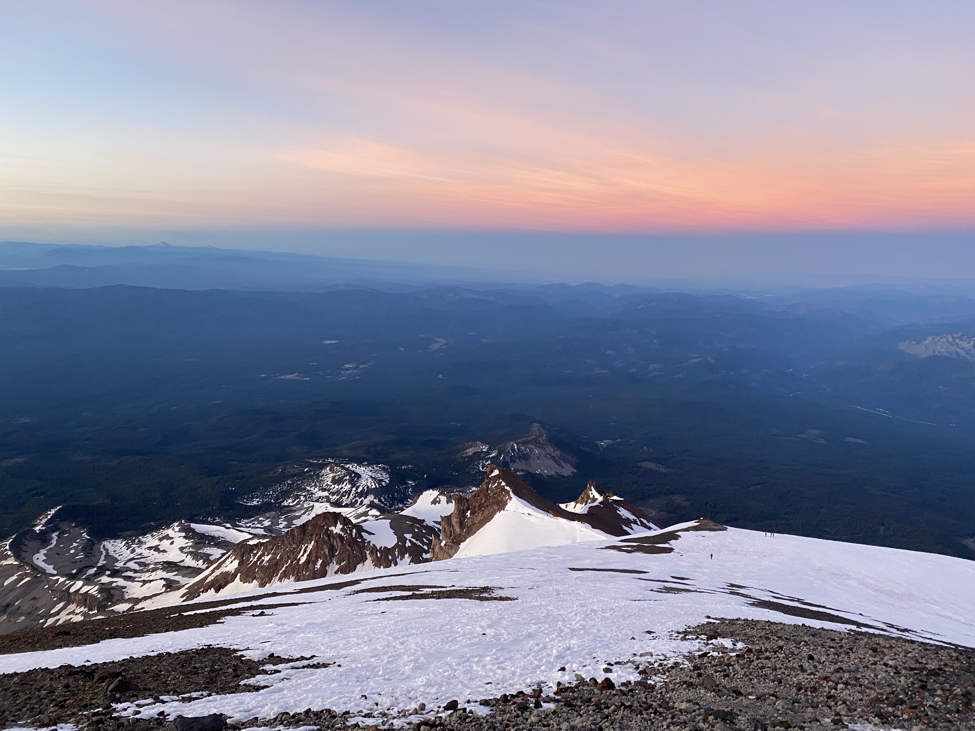
Misery Hill is a stretch of about one half mile and 1,000ft of elevation. It's not incredible steep but, it's just very consistent climbing going straight up the mountain. Considering your already at an elevation of 13,000ft and above, it can be pretty grueling. If you have nice views and nice weather, it can be pretty meditative to just enjoy the scenery and put one foot in front of the other.
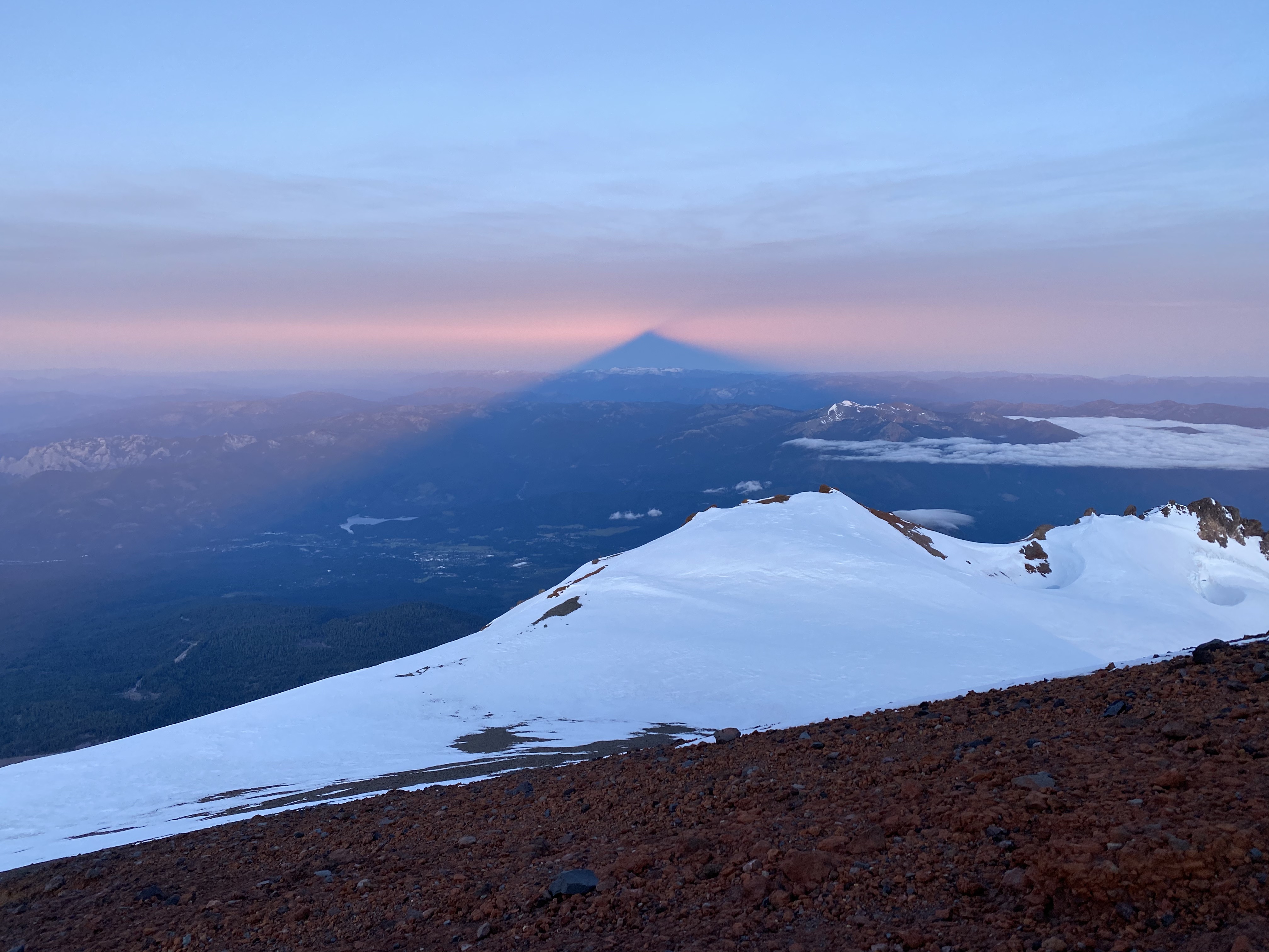
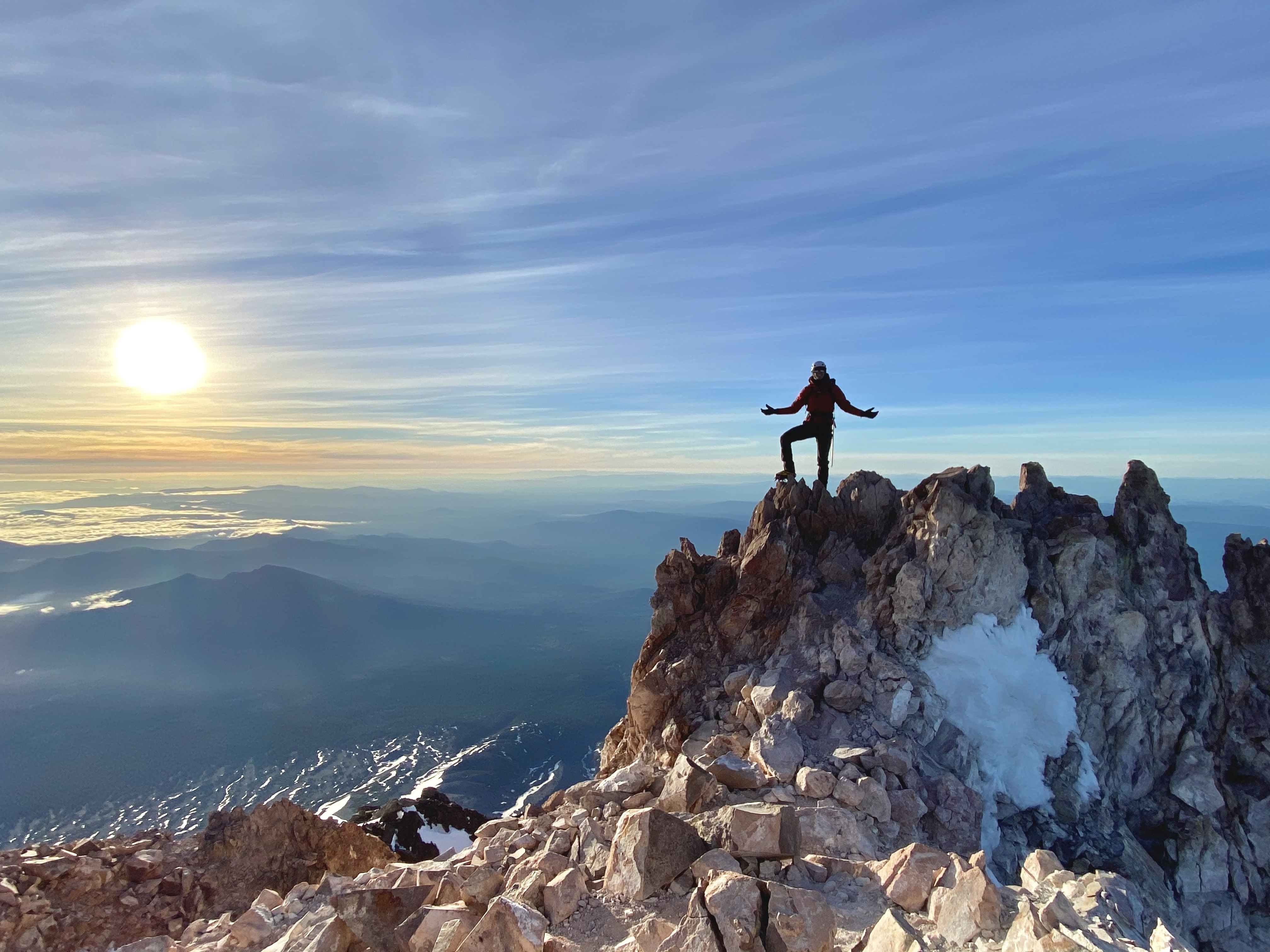
We got up to the top of Misery Hill around 5:30am, 3.5hrs after leaving camp. We were now at an elevation of 13,800ft. From here it flattens out a bit and you can see the final rock pinnacle of the summit. Josh led the way to the summit!
It took us about 4 hours and 15 minutes to reach the summit. We had a pretty good pace and didn't take many breaks. The weather that day was incredible. We beat the rush and got up before the crowds. It was an incredible summit experience. The view from the top with the sun rising was majestic. I remember getting a bit emotional and feeling such a strong sense of connection to the mountain and the world around me. It was an such a good feeling and I am so grateful to have shared that experience with Josh.
The Descent
The way down wasn't so bad. It was pretty gradual and the good vibes made it easy. Although, it was pretty uneventful and pretty standard. We got to camp, packed up all of our gear and headed down to the trailhead. I'm not sure exactly when we got back to the car, I stopped taking pictures after the summit. Feeling pretty high on life, I just took it all in and enjoyed the moment. We did drive all the way back to Seattle the same day. Again, props to Josh for doing this drive with a quick turn around!